Crossing the Blue: How Lakshadweep Built Its Lifeline to the World
"I grew up on these islands. The sea was never a wall for us — it was the only road we had. This is the story of how we kept crossing it."
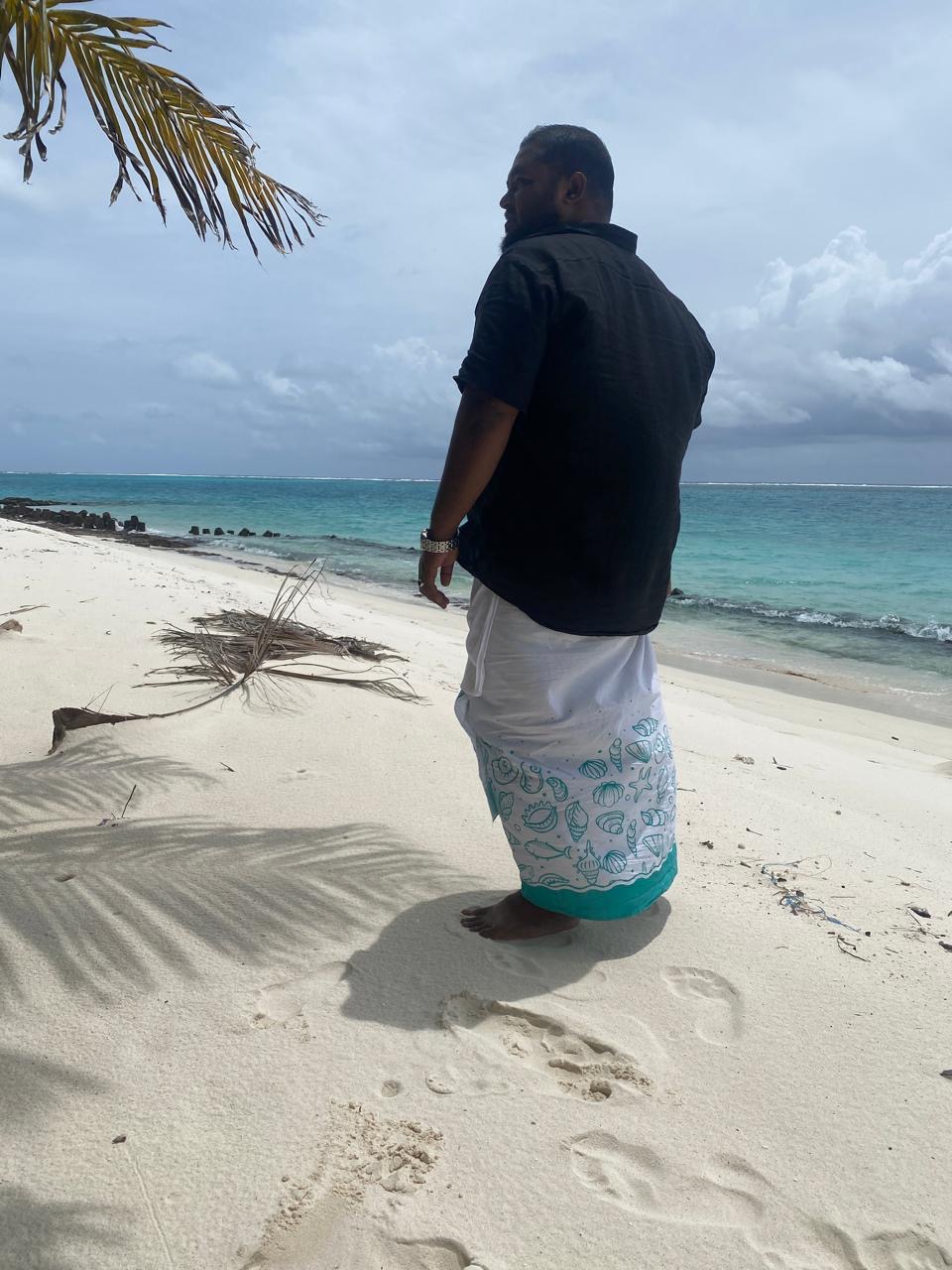
A founder's note from Anwer. As a Lakshadweep islander and co-founder of Coral Nest, the question of how we reach our islands — and how the world reaches us — is personal. This is the third in our founder series, and it's the one closest to my own childhood: the ships we waited for, the runway that changed everything, and the seaplanes that now kiss our lagoons.
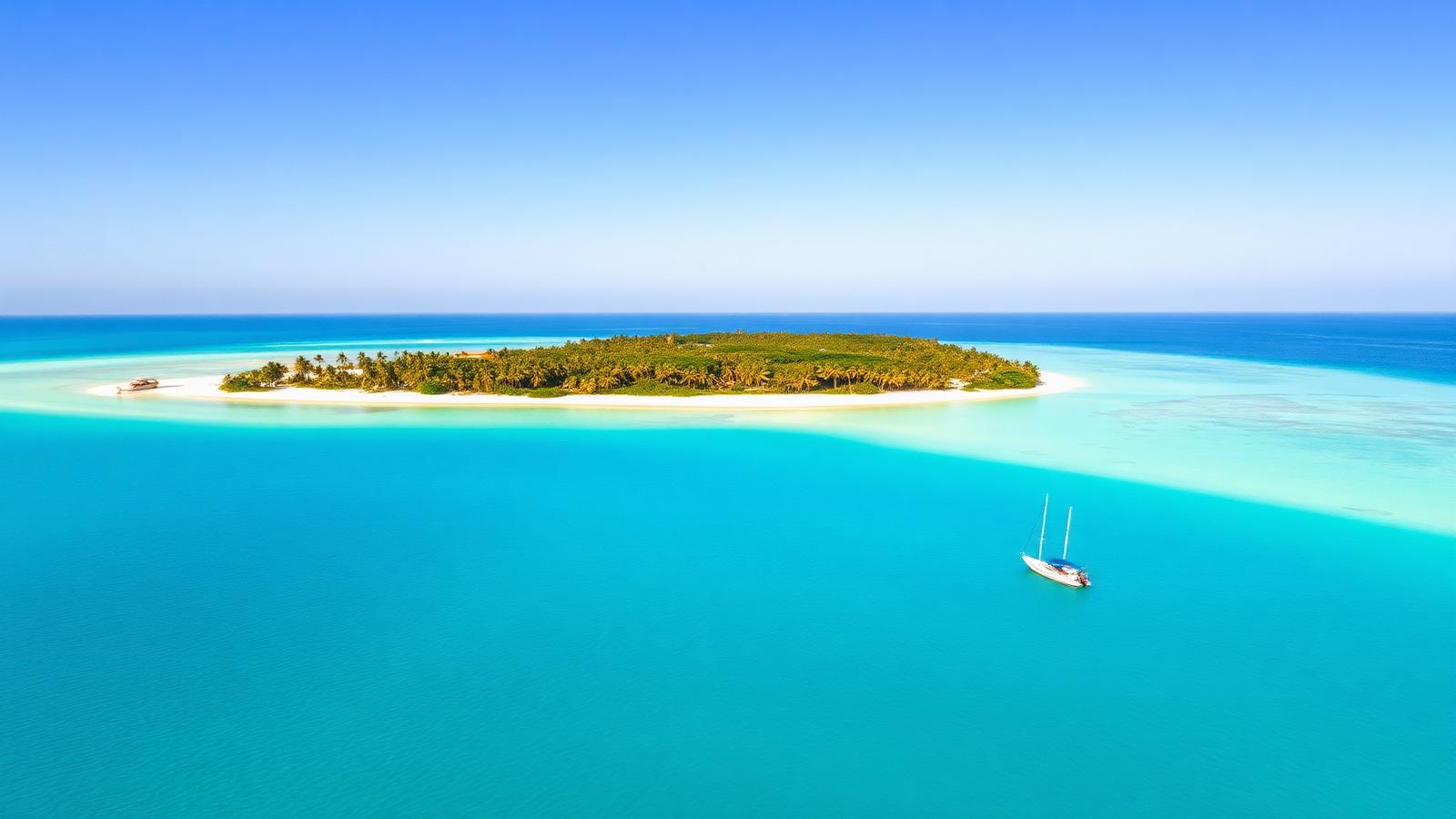
Picture the Arabian Sea stretching westward from the Malabar coast — a vast, unmarked blue. Somewhere in it, scattered like emeralds, lie 36 coral atolls. For millennia, the only question that mattered was simple and unyielding: how do you reach them?
Lakshadweep is India's smallest union territory — 36 islands, only 10 inhabited, 400 km from the Kerala coast, with just 32 sq km of land spread across 32,000 sq km of sea. The story of how those islands stay connected to the mainland — and to each other — is also the story of how a people refused to let water become a wall.
Before the Map: Ancient Crossings
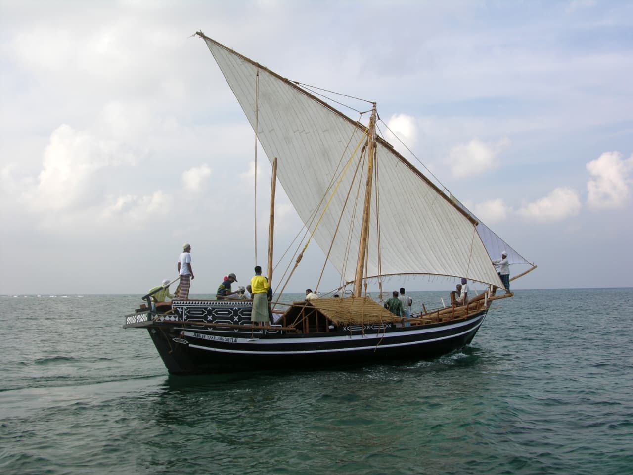
Long before cartographers drew Lakshadweep into the record, the islands were not isolated — they were nodes. Arab traders, navigating by stars and wind, found the atolls as waypoints on the dhow route between the Gulf and Malabar. The reefs that would later frustrate modern shipping were, for shallow-draft vessels, a natural harbour.
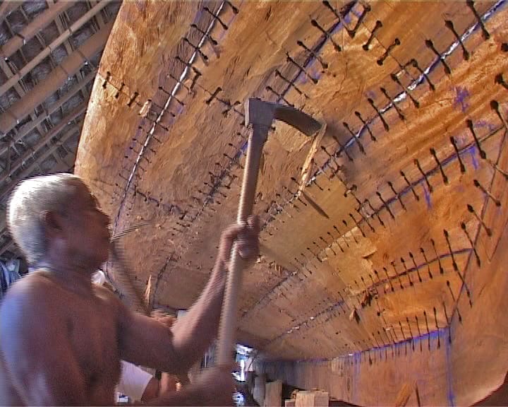
The islanders built the vallam and the odi — outrigger sailing canoes of coconut timber, caulked with fish oil and stitched together with coir rope. In the hands of navigators who could read swells, water colour and the flight of frigate birds, a vallam could cross 300 km of open sea reliably. Trade in copra, dried tuna and coir connected the islands to Calicut and Cochin. The sea was not a barrier. It was the road.
The Arab Connection
Arab merchants arrived as early as the 7th century CE, and many settled permanently. The conversion of Lakshadweep to Islam — one of the earliest and most peaceful in India — arrived not by conquest but by ship. That maritime exchange still echoes in the islands' language, architecture and cuisine. Navigation was a sacred art; to know the sea was to know the widest of all creations.
Portuguese Charts and British Steamers
Vasco da Gama's 1498 voyage changed the calculus of the Indian Ocean. The Portuguese, then the Dutch, then the British all recognised the strategic value of coral islands sitting in the middle of major shipping lanes. But Lakshadweep's greatest advantage was also its greatest deterrent: the reef. No deep-draft European frigate could safely enter the lagoons.
By the late 19th century, government steamers began irregular runs between Beypore (near Calicut) and the islands — cargo-heavy, passenger-sparse, schedule-loose. A single journey could take two to five days, and the southwest monsoon between June and September routinely severed all contact for weeks at a stretch. Life on the islands was calibrated around the ship's arrival: rice, kerosene, medicines, school books and news from the mainland.
The Republic Reaches the Reef
When India became independent in 1947, Lakshadweep was an afterthought — a remote territory administered from Delhi. But the new republic inherited an obligation: to connect every corner of its geography into a single functioning whole. The archipelago spans roughly 32,000 sq km of sea but only 32 sq km of land. Every connection required crossing open water.
36
Total islands in the archipelago
10
Inhabited islands today
400 km
Distance from the Kerala coast
64,000+
Resident population across the chain
The Lakshadweep Administration gradually built a fleet — MV Tipu Sultan, MV Bharat Seema, later MV Arabian Sea — sailing out of Kochi, which replaced Beypore as the mainland hub. Journey times were still measured in 14 to 20 hours for the nearest islands, and over a day for Minicoy. Conditions on board were rudimentary; the monsoon blackout remained the defining anxiety of island life.
A Timeline of Movement
7th century CE
Dhow EraArab merchants weave Lakshadweep into Indian Ocean trade. Outriggers and dhows are the primary craft. Islam arrives peacefully on the same routes.
1498 – 1600s
Colonial ChartsPortuguese cartographers map the islands for Europe. Colonial powers disrupt trade but cannot penetrate the shallow lagoons. Indigenous craft still rule local movement.
1870s – 1940s
First SteamersBritish steamers run irregular postal and supply trips from Beypore. Journeys of two to five days. Services suspended every monsoon, June to September.
1956
Union TerritoryIndia reorganises the islands as the Union Territory of Lakshadweep. The central government inherits the connectivity challenge that will define island policy for decades.
1964
Agatti RunwayAgatti is identified as the only atoll wide enough for a landing strip. The first flights cut Kochi–Lakshadweep from 18 hours by sea to 90 minutes by air.
1980s
Helicopters & Modern ShipsPawan Hans introduces inter-island helicopter services. The shipping fleet is modernised; Kochi becomes the primary mainland port.
2004
Tsunami LessonsThe Indian Ocean tsunami reaches Lakshadweep. Atoll geometry limits damage, but the disaster exposes gaps in emergency connectivity. Faster vessels and better inter-island communication follow.
2023 – 24
The Seaplane MomentPM Modi's visit sparks national tourism interest and accelerates long-pending seaplane approvals. Seaplane links between Agatti and multiple atolls become a stated priority.
The Runway That Changed Everything
In the early 1960s, planners faced an uncomfortable truth: shipping alone could never deliver the speed and reliability modern island governance required. Medical emergencies. Official travel. Tourism, if it were ever to develop. The islands needed air connectivity.
The problem was geometry. Most coral atolls in Lakshadweep are barely 200–300 metres wide. A standard runway needs at least 1,200 metres of clear, flat ground. Of 36 islands, only Agatti offered enough elongated land to build one. The Agatti Aerodrome, operated by the Airports Authority of India, opened a 90-minute Kochi–Lakshadweep hop. It remains the only airport in the entire archipelago.
The Seaplane: Landing on the Lagoon
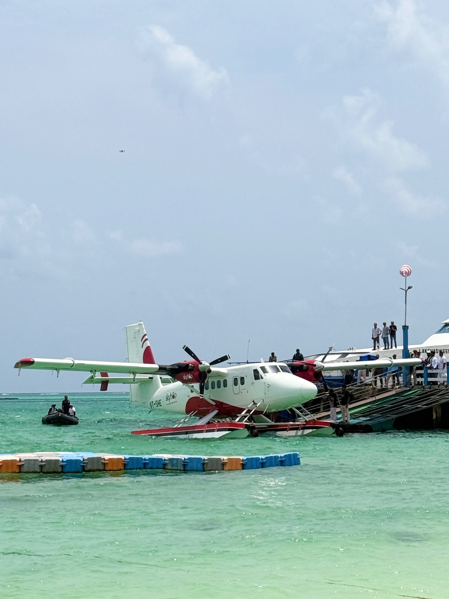
Perhaps no development better captures Lakshadweep's transport future than the seaplane — an aircraft that needs no runway at all. Just a lagoon. It is the practical answer to the Agatti bottleneck, and a quietly radical idea: connect without paving.
What it is
A fixed-wing aircraft on floats that takes off and lands on water. No runway needed — only a calm lagoon.
Why it matters
Links all 10 inhabited islands without carving new runways into fragile coral.
Journey time
Agatti to Kavaratti in about 25 minutes — versus 2–3 hours by boat. Most inter-island hops under 30 min.
Capacity
Typical Indian seaplanes carry 9–15 passengers; modern twin-engine options reach 19.
Status 2024–25
Approved under the RCS-UDAN scheme. Kochi–Agatti–island routes are being rolled out with multiple operators.
Eco note
Water landing zones are speed-limited and routed away from coral, so the lagoon stays the lagoon.
Ships, Jetties and the 21st-Century Fleet
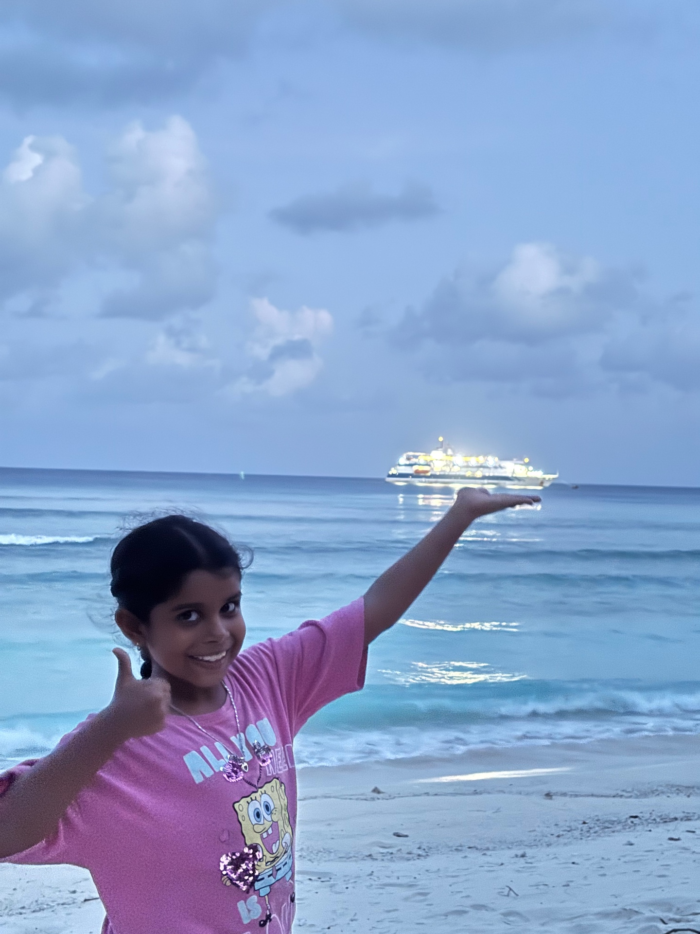
While seaplanes capture the imagination, the unglamorous backbone of Lakshadweep remains the passenger-cargo ship. Modern vessels like MV Kavaratti, MV Lakshadweep Sea and MV Arabian Sea carry 200–500 passengers with air-conditioned berths, cafeterias and basic medical facilities. Journey times still run from 14–20 hours for Agatti and Bangaram to over 36 hours for Minicoy.
The quieter challenge is jetty infrastructure. Atolls have shallow lagoons; large vessels cannot enter. Ships anchor offshore and passengers are transferred by small country boats — an operation that becomes impossible, and dangerous, in rough weather. Any real upgrade in shipping capacity has to be designed around the reef, not against it.
Transport Modes at a Glance
| Mode | Route | Duration | Capacity | Availability |
|---|---|---|---|---|
| Ship | Kochi → Islands | 14–36 hrs | 200–500 pax | Regular, limited in monsoon |
| Flight | Kochi → Agatti | ~90 min | 70–180 pax | Daily, weather permitting |
| Helicopter | Agatti → Islands | 20–60 min | 12–16 pax | Limited Pawan Hans schedules |
| Seaplane | Agatti ↔ Islands | 20–35 min | 9–19 pax | In rollout, 2024–25 |
| Speed boat | Inter-island | 1–4 hrs | 10–25 pax | Regular, weather-dependent |
| Country boat | Ship ↔ Shore | 15–45 min | 10–20 pax | At all islands, traditional craft |
What the Next Decade Must Solve
The Agatti bottleneck
A single airport for the whole archipelago is fragile. The seaplane network — using lagoons, not new asphalt — is the practical answer.
Monsoon resilience
From June to September, the Arabian Sea is ferocious. Better all-weather vessels, sharper forecasting and stronger emergency protocols are essential.
Capacity vs. cost
More access means more tourists, which means more pressure on freshwater, waste and reef. Connectivity here is an ecological question, not just a logistical one.
"The seaplane is not just a transport solution. It is a philosophy of access — connecting without consuming."
The islands that once calibrated their entire civic rhythm around a ship's arrival are now on the edge of something their ancestors could not have imagined: same-day connectivity across the archipelago, on aircraft that kiss the turquoise lagoon and lift again into the sky. The sea road remains. But now it has wings — and as a Lakshadweep islander building Coral Nest, my hope is that we use those wings carefully.
Plan your crossing
Ship, flight or seaplane — we'll help you pick the right way in and the right island to begin. Vetted local hosts, real itineraries.
Explore stays & experiencesPlan your Lakshadweep trip
Browse verified stays, surf guides, dive operators and permit help on Coral Nest.
Explore listings